


"Precision is the silent partner of great design. We capture vast landscapes and complex structures with centimeter-level accuracy."
LiDAR
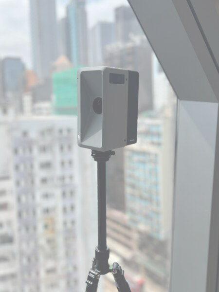
Precision is the silent partner of great design. We utilize the DJI 350 Matrice RTK equipped with the Zenmuse L2 to capture vast landscapes and complex structures from above with centimeter-level accuracy. For the finer details of your interior, the Realsee Galois allows us to generate 8K panoramic “Digital Twins” and high-density point clouds that document every millimetre of your space.
By mapping your environment with this level of fidelity, we eliminate the guesswork of traditional surveying. This data-driven approach ensures that every custom architectural element and hidden technology system integrates seamlessly, providing a flawless blueprint for both current renovations and future-proofed expansions.

How We Use LiDAR Data
-
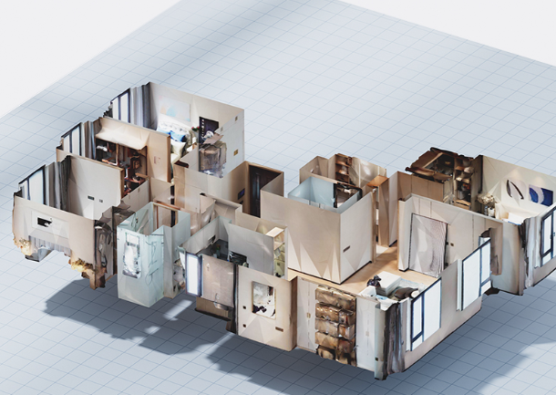
We utilize the DJI 350 Matrice RTK equipped with the Zenmuse L2 to capture vast landscapes and complex structures from above. For the finer details of your interior, the Realsee Galois allows us to generate 8K panoramic Digital Twins and high-density point clouds that document every millimetre of your space.
- Drone Land Surveying: Utilizing high-precision RTK/PPG-enabled drones to rapidly capture expansive topographic data, boundaries, and site features with centimeter-level accuracy.
- Scan to BIM: Converting highly accurate point clouds into workable Revit models to serve as the foundation for renovations.
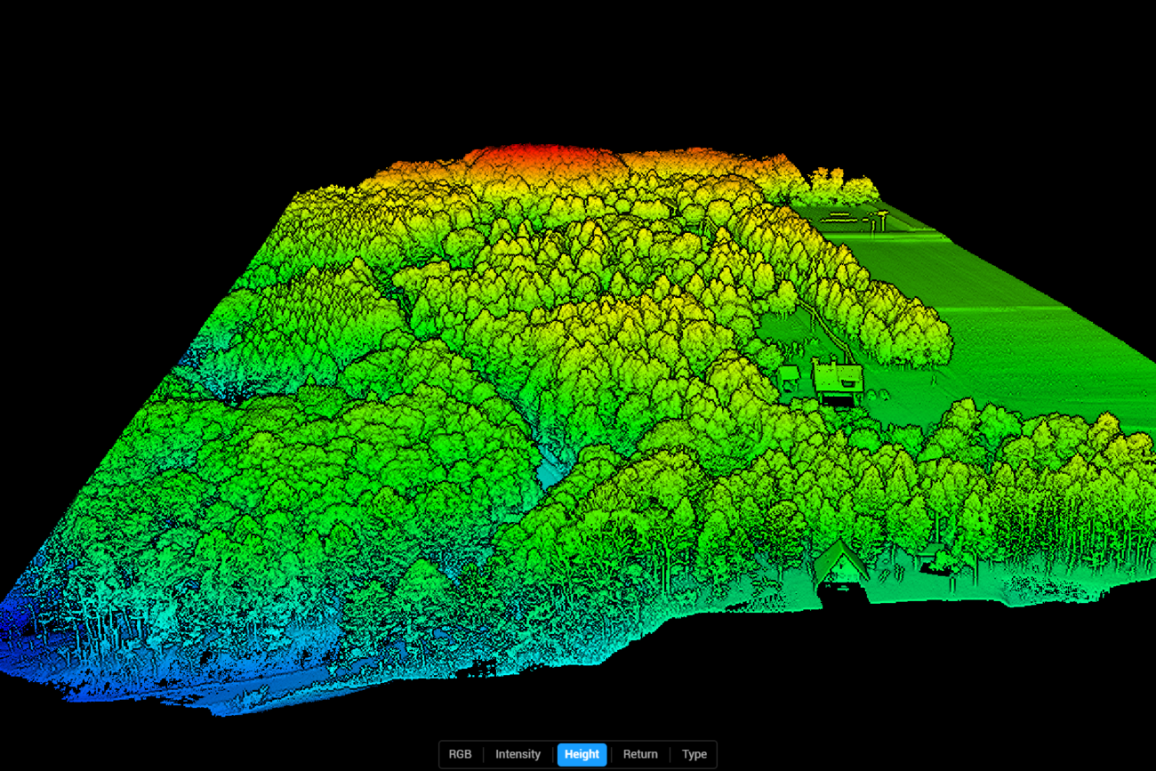
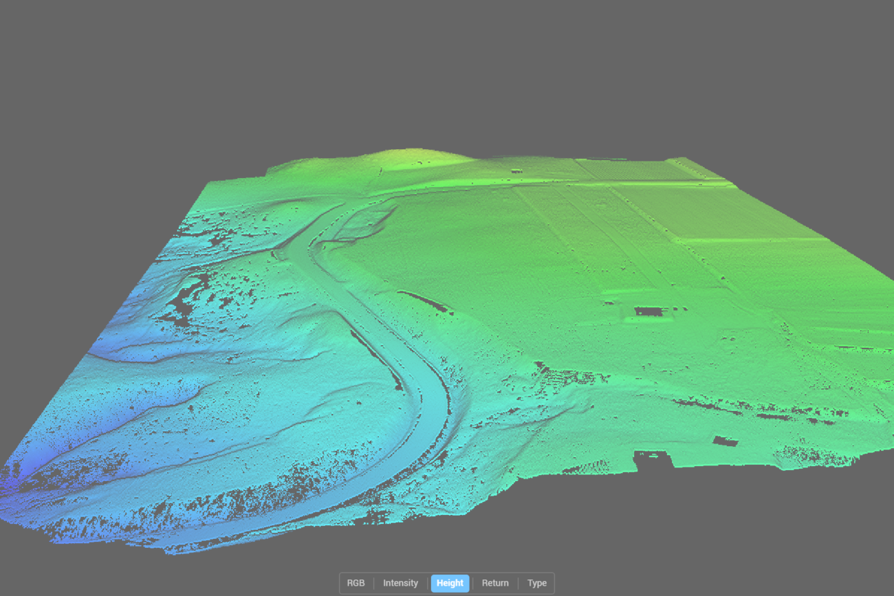
- Site Topography & Vegetation: Using drone LiDAR to penetrate dense tree canopies in locations like Niseko to generate accurate terrain models (DEM/DSM).
- Construction QA/QC: Scanning active construction sites to verify that as-built conditions match our architectural models to the millimeter.
- Immersive VR Tours: Creating 8K resolution 3D walkthroughs for remote client presentations and real estate marketing.