Interior LiDAR Scanning + VR Tours
High-Accuracy LiDAR Point Cloud Scanning and 360 VR Virtual Tours
At our office, LiDAR drone survey mapping is more than just data collection—it’s a transformative approach to understanding and shaping the physical world with unmatched precision. We provide end-to-end aerial mapping solutions that empower industries to make smarter, faster, and more informed decisions.
Popular Use-Cases:
Real-Estate Property Promotion
3D virtual tours for remote sales marketing
Architecture and Interior Design
Generation of Floor Plans and Models and starting designing faster and more accurately
Construction QAQC
Verify as-built conditions against the design model or drawings to centimeter accuracy
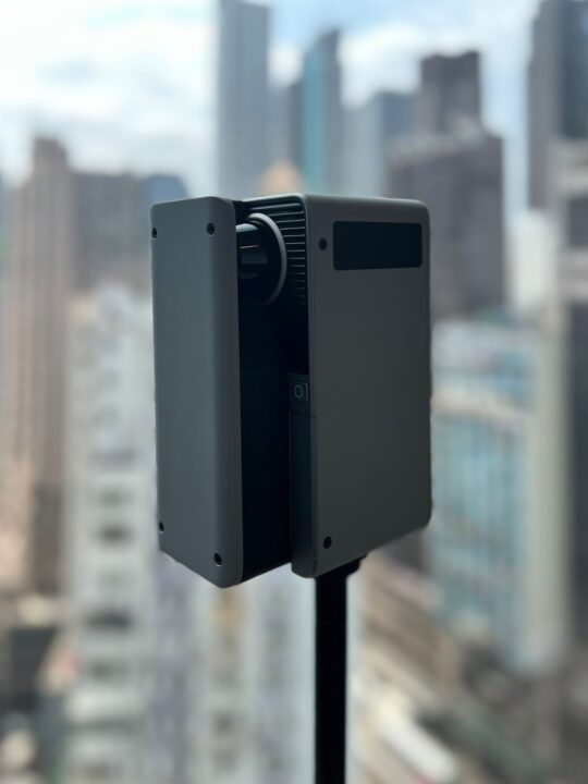
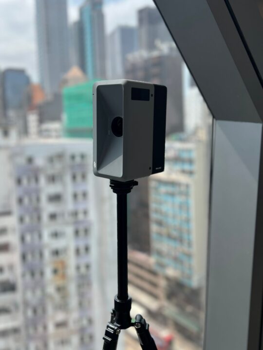
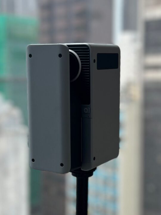
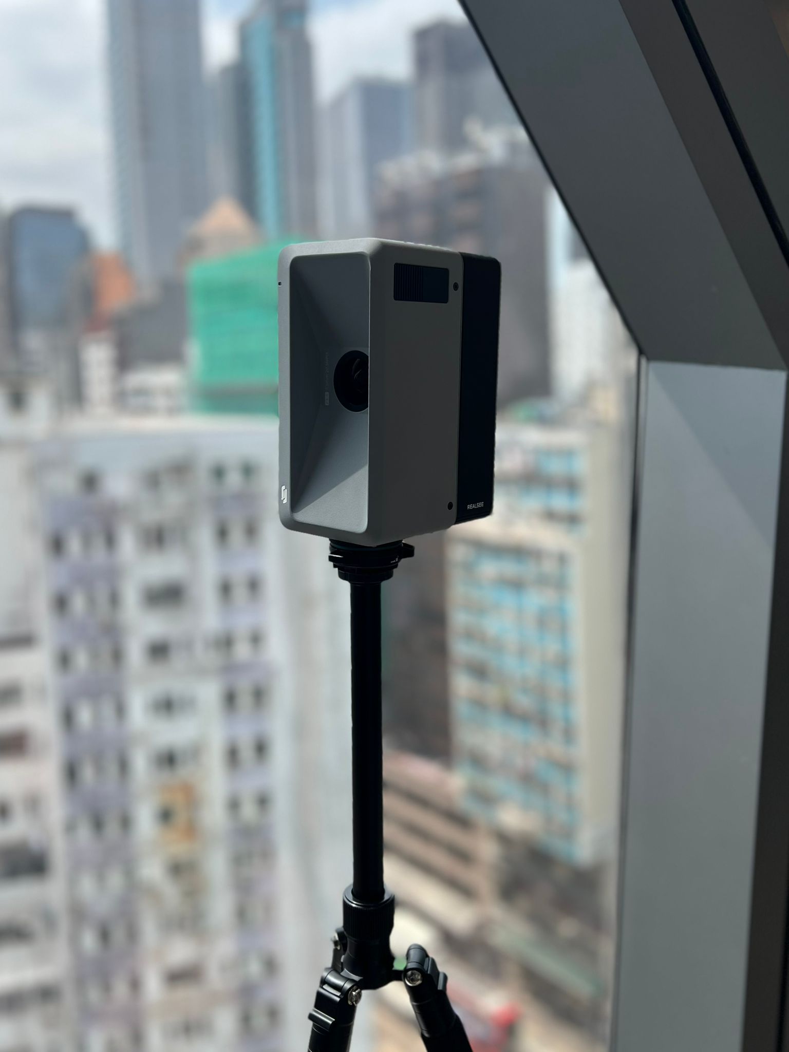
Interior Precision: LiDAR Scanning & Digital Twins
While our drone fleet captures the world from above, our RealSee Galois Laser Scanner brings that same high-level precision indoors. By integrating professional-grade LiDAR scanning into our workflow, we transform physical spaces into rich, intelligent digital assets.
Whether you need a rapid site survey for a new project or a high-end virtual showcase, we provide the data you need to design, build, and market with confidence.
Our Interior Data Services
We don’t just capture points; we create usable solutions. Our RealSee Galois technology allows us to deliver:
Scan to Plan: Rapidly generate highly accurate 2D floor plans and site layouts from 3D data.
Scan to BIM: Create Revit-ready models that serve as a “true-to-life” foundation for architectural and engineering workflows.
Scan to 3D Model: High-fidelity mesh and CAD models for renovation, interior design, and spatial analysis.
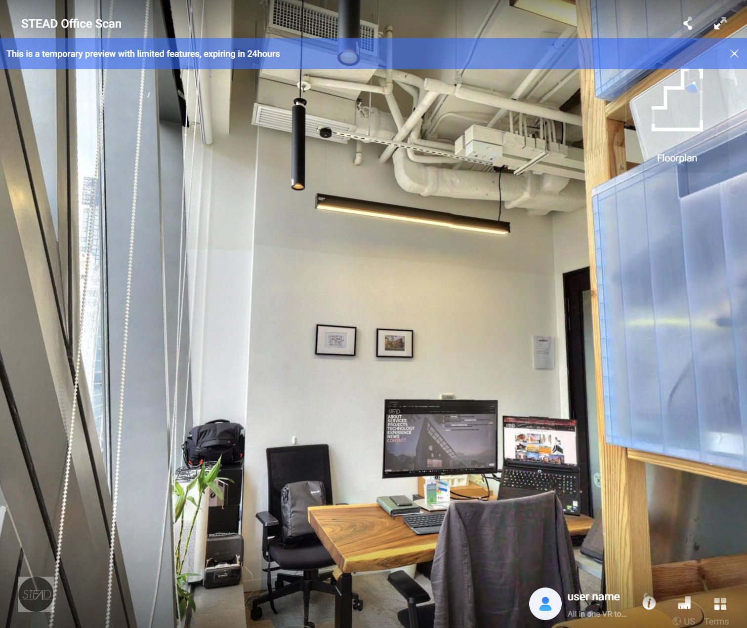
3D Virtual Tours: Immersive, 8K-resolution walkthroughs that allow stakeholders to navigate a space remotely with stunning clarity.
Why Work With Us?
By leveraging the RealSee Galois alongside our existing drone expertise, we offer a “Total Reality Capture” solution:
Speed & Accuracy: We can capture an existing space in a fraction of the time required by traditional manual measurements, reducing site visits and human error.
Internal Project Efficiency: We use this technology on our own projects to ensure our designs are built on a perfect digital foundation.
A Unified View: In collaboration with our sister company, Hokkaido Drone Services (HDS), we can merge indoor LiDAR data with our aerial DJI Matrice 350RTK scans to provide a seamless digital twin—from the property boundary to the interior finishes.