Drone Survey Mapping
Advanced LiDAR Drone Survey Mapping Rooted in Accuracy and Innovation
At our office, LiDAR drone survey mapping is more than just data collection—it’s a transformative approach to understanding and shaping the physical world with unmatched precision. We provide end-to-end aerial mapping solutions that empower industries to make smarter, faster, and more informed decisions.
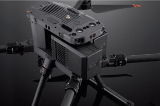
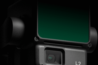
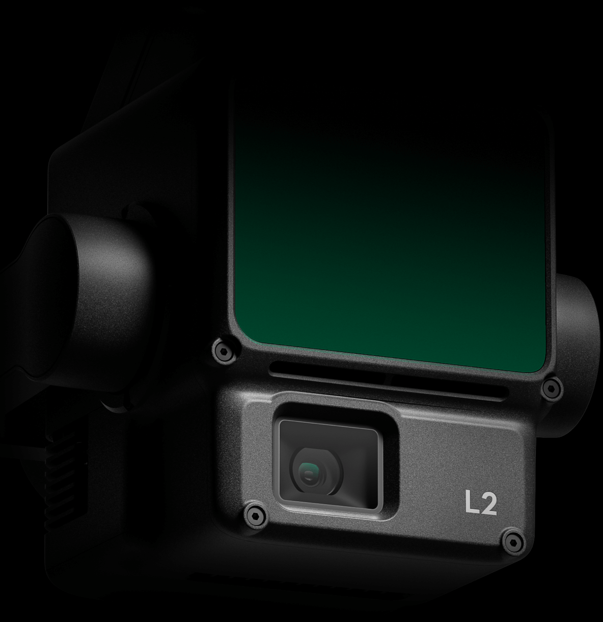
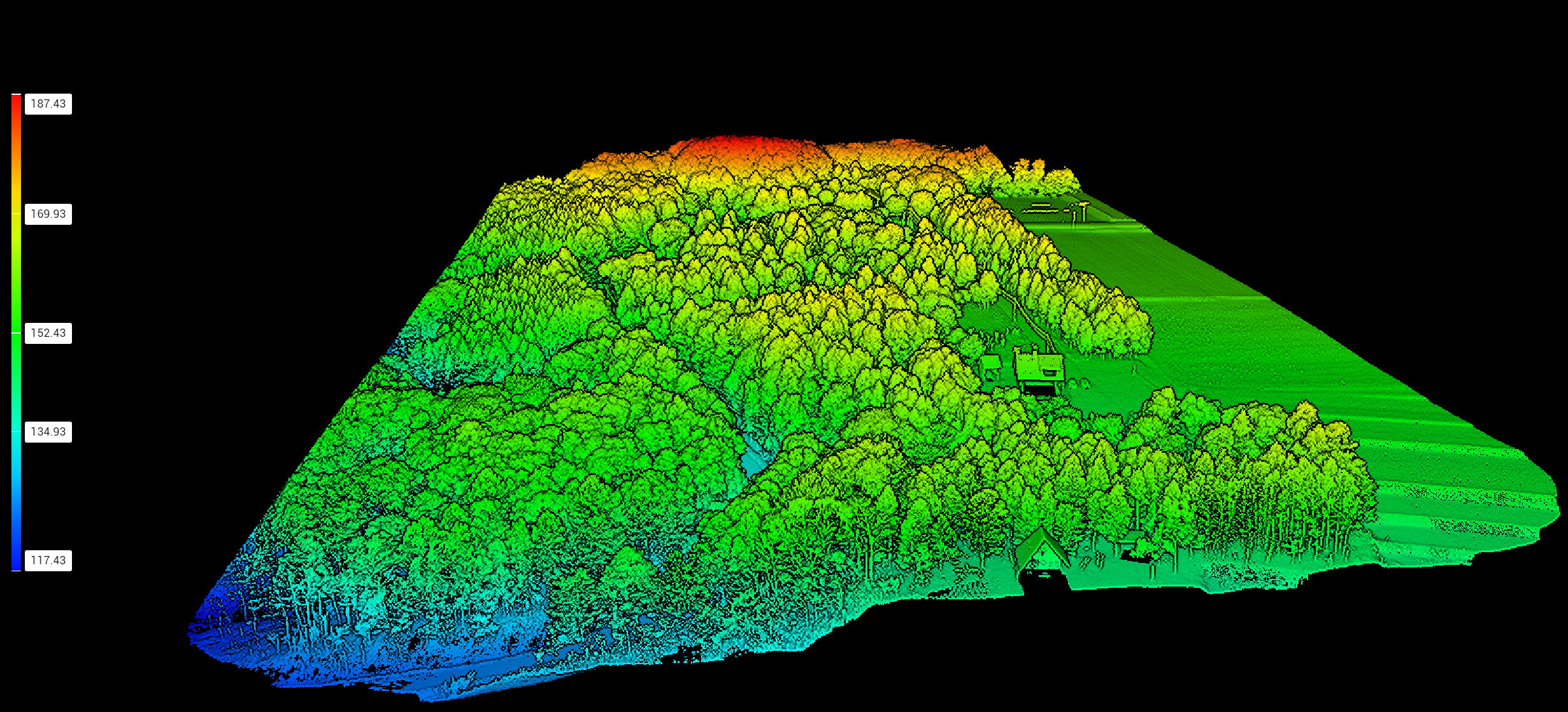
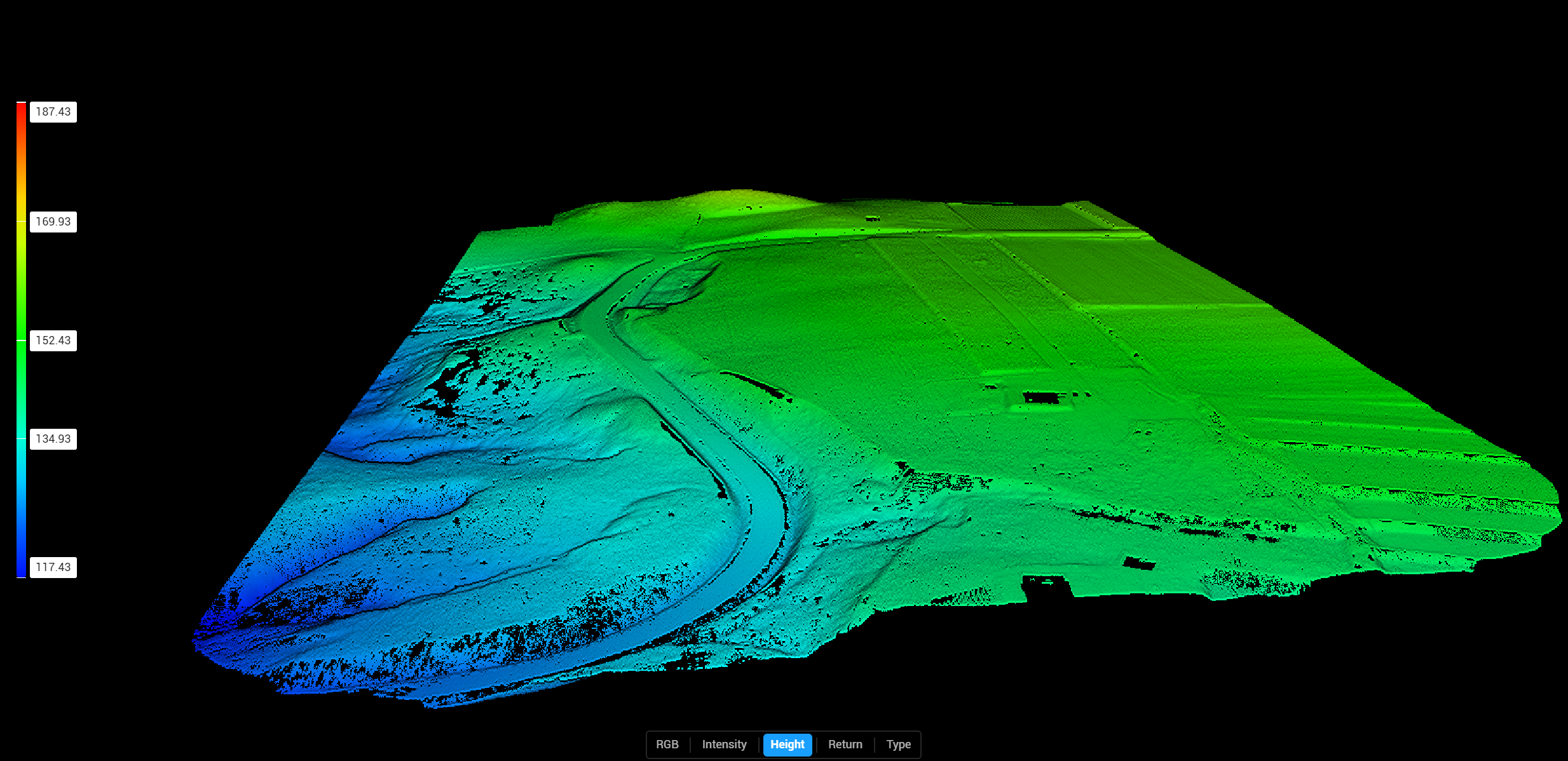
We offer Drone Survey Mapping, including LiDAR and photogrammetric digital Mapping services. We have a fleet of drones, including the DJI Matrice 350RTK, with L2 Zenmuse LiDAR sensor attachment.
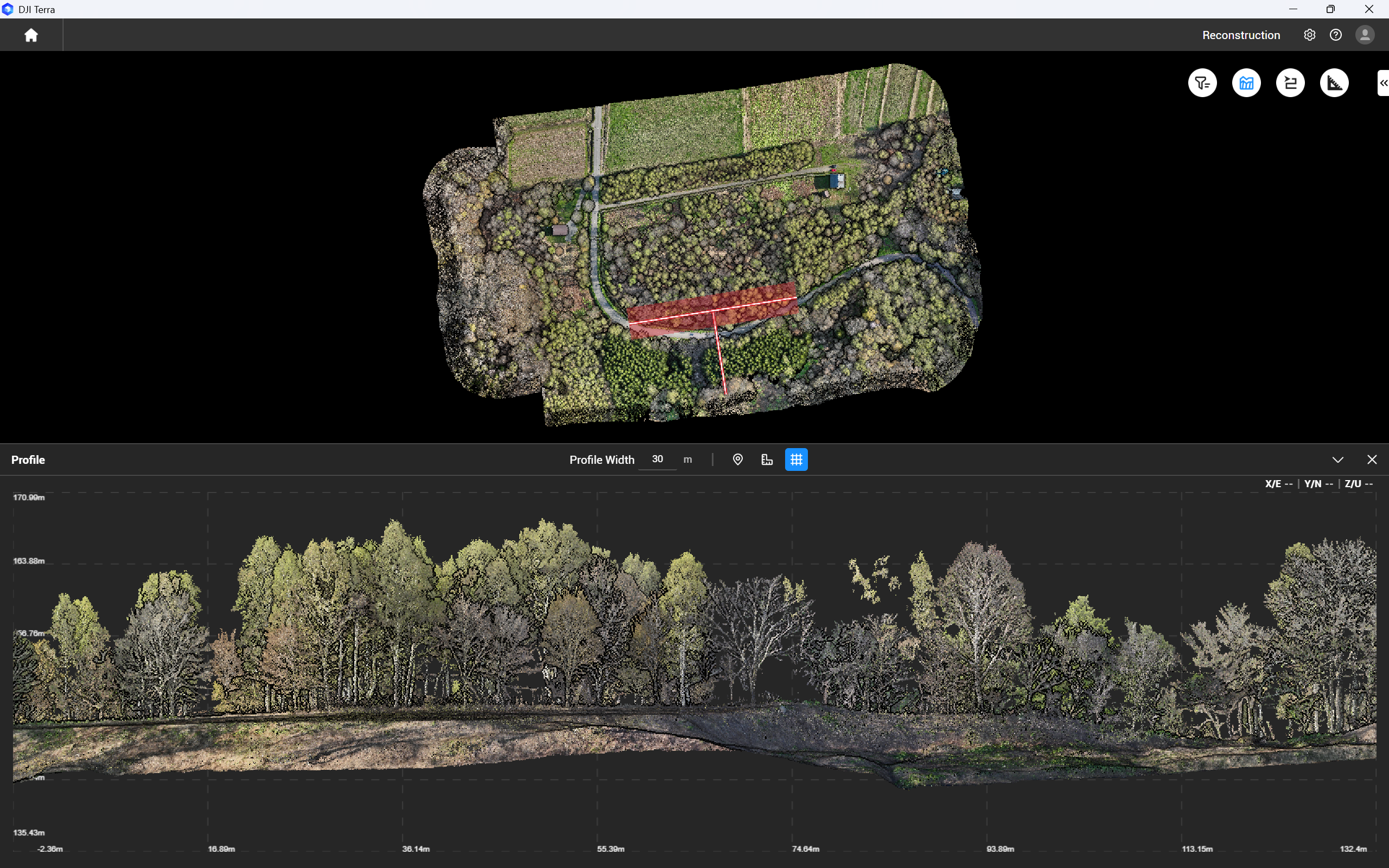
We collaborate with our sister company, HDS (Hokkaido Drone Services) and are highly experienced in creating digital models from Drone Scans, including orthomosaics, contours, DEM and DSM, contour models, elevation heat maps, site sections, and more.

Contact Us for a Free Consultation
We have experience building custom homes in Japan, as well as cultural, commercial and mixed use projects around the world.
Our services span the entire lifecycle of a mapping project—from initial site assessments and flight planning to high-resolution data acquisition, processing, and 3D modeling. Using state-of-the-art LiDAR-equipped UAVs, we capture detailed topographic and structural information with exceptional speed and accuracy, even in challenging or inaccessible environments.
We specialize in:
- High-Resolution Terrain Mapping: Delivering centimeter-level accuracy for engineering, construction, and environmental applications.
- Vegetation and Canopy Penetration: Capturing ground-level data through dense foliage using advanced laser scanning technology.
- 3D Modeling and Digital Elevation Models (DEMs): Creating detailed, georeferenced models for planning, analysis, and simulation.
- Data Integration and Analysis: Providing actionable insights through seamless integration with GIS, CAD, and BIM platforms.
Our team combines technical expertise with a deep understanding of geospatial science, ensuring that every project is executed with precision, efficiency, and a commitment to excellence. From infrastructure development and land surveying to forestry, mining, and disaster response, we support a wide range of industries across the globe.